
Story & photo Charles Boyle
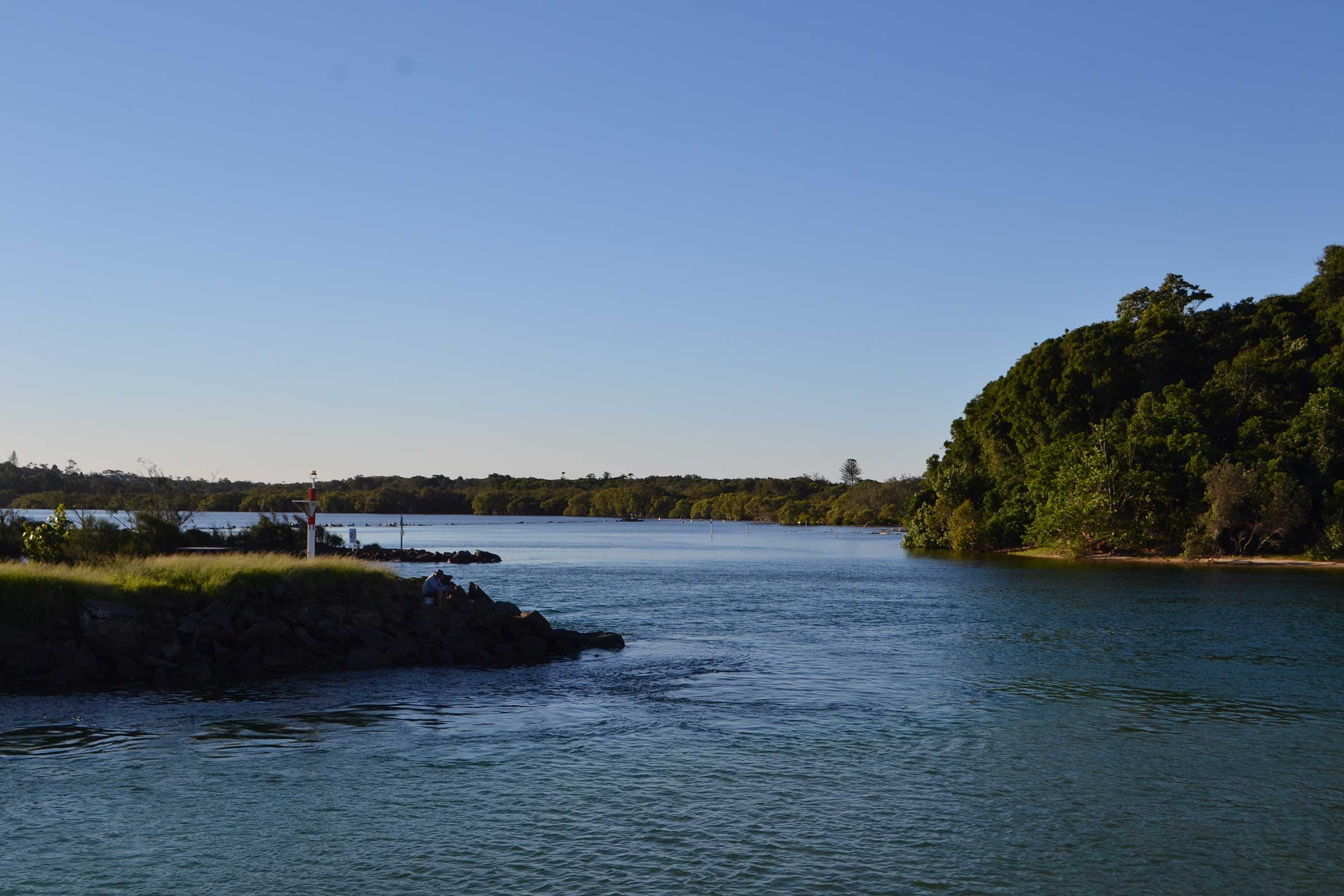
For twenty-two million years the mighty Brunswick River has carved its way through the rocks of the Wollumbin volcanic shield from its source in the rugged rainforests of Upper Main Arm to meet the sea at Brunswick Heads, just over 40km away. While it is a small river, it has the potential to be one of the cleanest rivers in this country.
In April 1770 Cook sailed past here and named Cape Byron, but strong winds and a heavy swell kept him wide of the coast and he didn’t see the Brunswick River.
Then in 1828, Captain John Rous, 1st Earl of Stradbroke and a dashing Royal Navy adventurer, arrived to explore the Tweed. He mapped (discovered is too naive a word) the Richmond River and Lennox Head, both of which he named after his friend Charles Lennox the 5th Earl of Richmond.
Captain Rous then named the Brunswick River after German aristocrat Caroline of Brunswick (Braunshweig) who, despised by her husband King George IV, was Queen of the United Kingdom for just one year until her tragic death in 1821.
Caroline was popular with the British people and also Captain Rous, apparently. He named the river in her honour seven years after her death, curiously referring to her German, not her British, title. ‘Braunshweig’ literally means ‘brown silence’. The name is entirely uninspiring and doesn’t do the river justice.
It should be mentioned that after naming our river, Captain Rous named Stradbroke Island after himself and sailed away forever, returning to England to devote his life to horse racing. Such is the nature of the new names applied to this land; so our river is named Brown Silence honouring a tragic British monarch who didn’t set foot on this continent.
River boundaries
The river was the ancient boundary between Minjungbal and Arakwal country; Arakwal south to Byron, Minjungbal north to the Nerang River at Southport.
The Arakwal people called the river Durungbil. The area known today as Durrumbul is where the river emerges from the hills to meander across the floodplain to the tidal reach at Mullumbimby.
The marshes and wetlands of the estuary were a major food source and an important place for ceremonies and trade.
Cedar roads
Cedar-getters used the river to float their logs down to the sea, but for most settlers it has long been an obstacle, prone to frequent flooding.
Bare feet, boots and horse hooves easily cross the stony fords of the upper reaches, but wagon wheels, weighed down with heavy cedar logs, bogged easily. Initially the crossings were stabilised with logs, rocks and gravel, and later with concrete and later half-pipe culverts.
Over time the causeways randomly evolved through necessity but were never strategically planned. The Brunswick is by nature a short and fast flowing river and for more than a hundred years these causeways have effectively restricted the river flow like dam walls, trapping silt and flood debris in the system.
 Free-flowing fish
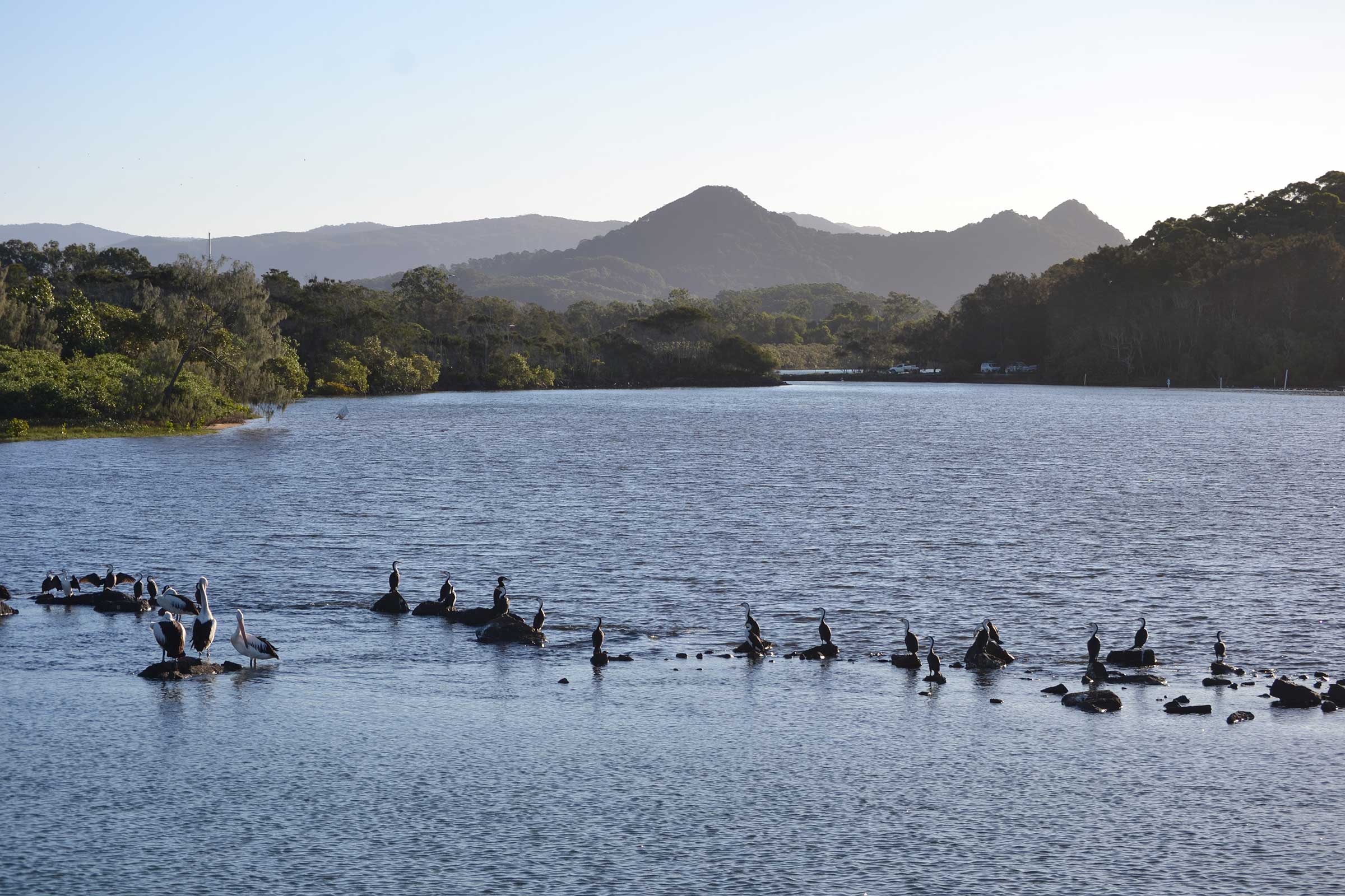
The causeways also restricted the movement of fish. Eighteen fish species have been recorded in the Brunswick River; and while they all move around to some degree, some need to travel to the ocean to breed.

The causeways, up to two metres high at some crossings, present a physical barrier that fish can only cross in flood times. The result is depleted populations of apex aquatic predators like Silver Bass (Macquaria novemaculeata), Bull or Sea Mullet (Mugil cephalus) and Freshwater or Pinkeye Mullet (Trachystoma petardi); all are popular recreational fishing species.
However, less conspicuous species like Galaxias are also disappearing – this is a bad sign as species diversity is the barometer of ecosystem health and productivity. A healthy river has resilient fish stocks that can sustain a recreational fishing resource if managed intelligently.
Fifteen years ago NSW Fisheries personnel identified the Brunswick’s problems and a plan was quietly hatched to make the Brunswick one of the cleanest rivers in Australia. Fees collected from recreational fishing licences have been allocated to pay for removal of the causeways, and where necessary, replacing some with bridges. After years of planning the process is underway and within a year it is envisaged that all causeways between Main Arm Village and Mullumbimby will be removed.
Community bikeway hopes
With increasing traffic in the Brunswick Valley there is mounting community pressure for a bikeway along the river, initially running from Mullumbimby to Main Arm Village, to provide peaceful, safe access to the river. If you would like to support the initiative you can sign a petition at the Main Arm Shop or email: [email protected].
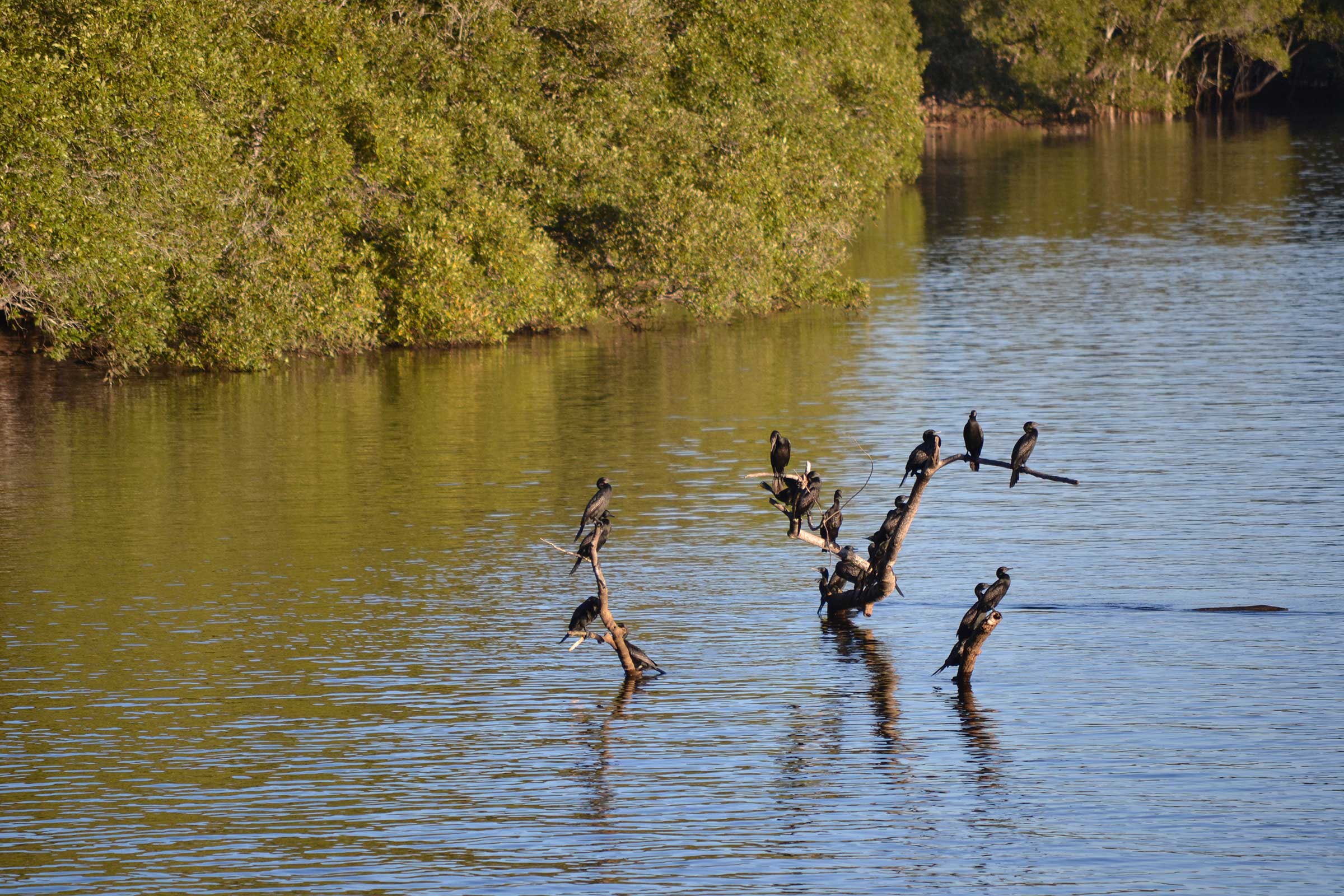
♦ Take an eco cruise or join the family-friendly Mullumbimby to Brunswick Heads paddle on Sunday 27 May to experience the vibrant wildlife of the mangroves and wetlands in the tidal reaches.


A turbulent fairly short river now known as the Brunswick for 22 million years carved its way through the rocks of the volcanic shield from high in the rugged rainforests to meet the ocean while from 8,500 years ago the Aborigine kept the river clean. It is only in the past 230 years that white man has despoiled it, used it tossed their rubbish and effluent into it and made it not as clean as it used to be when the Aborigine looked after it.