


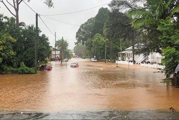
Did you get photos of any recent floods in Bangalow? The Byron Shire Council (BSC) are asking locals and visitors to submit photos and provide information to assist them in developing a a Floodplain Risk Management Plan and Study. It will also be used to guide future planning and development decisions.
The Draft Bangalow Flood Study looks at flooding from Byron Creek, Paddys Creek and Maori Creek, as well as overland flooding from rain overwhelming the drains and stormwater systems.
Key flood sites
The draft study confirmed that riverine flooding from Bangalow Creek and its tributaries were the dominant flood risk to Bangalow in particular: Deacon Street and Ashton Street; Industrial estate and Lismore Road; George Street and Market Street; and Raftons Road crossing of Paddys Creek.
Overland flooding hotspots caused by intense rainfall exceeding the capacity of the stormwater system were identified in five other areas.
For more information about the Draft Bangalow Flood Study, or to make a submission, go to Council’s Your Say page.
Submissions close on 12 August (byron.nsw.gov.au).
 For four decades The Echo has printed the stories some people loved, some people hated, and some pretended not to read. If you want us to keep telling the truth, the real truth, not the sugar-coated version. We’ll need your support to keep the presses rolling.