Story & image Mary Gardner
Remember, back before the pandemic, the long dry months during our Black Summer of wildfires? The Northern Rivers region was facing more water rationing. Then, over a few intense weeks, Byron Bay and surrounds received a good year’s worth of rain; approximately 900mm of welcome water fell. What impact have these extreme conditions had on the Belongil as well as the Tallow waterways? And why does it matter to you?
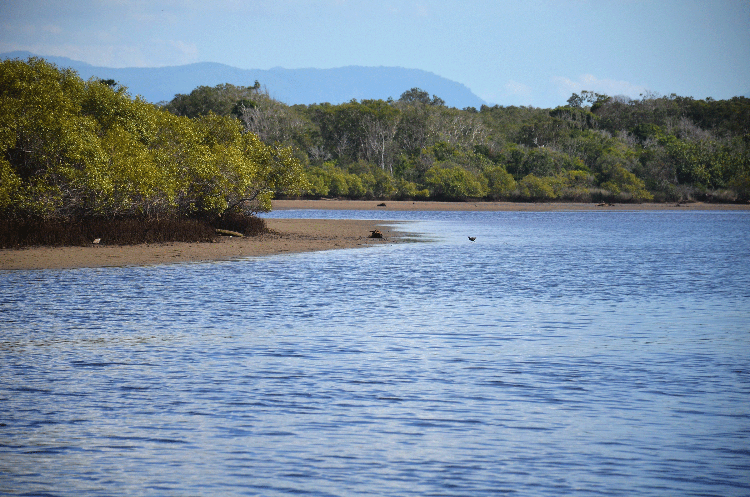
Stop for a moment and consider exactly what are these two water systems. They are both ICOLLS (Intermittently Closed and Open Lakes or Lagoons). They are also a pair of ecological jewels, because throughout the eastern seaboard they are some of the last ICOLLS considered to be ‘untrained’. This means their connection to the sea is still wild and free. Their sandbars open and close according to their own rhythm.
Community-based volunteers monitor the Belongil and some of the drains entering that system. They are members of the Belongil Drainage Board. They are all long term residents and live on the lands in West Byron.
According to the Board’s records, on 19 January 2020, a high tide briefly swept open the sandbar at Belongil. Fresh seawater surged and overflowed onto lands on both sides of the Union Drain. Although they do not monitor the Butler St Drain, people in the town of Byron would have noticed higher water levels here too. After all, this is the central receiving drain for a great part of town, out as far back as Cemetery Road and Lillipilli. All are connected to the Belongil and Cape Byron Marine Park.
At this time, the sand at the mouth quickly closed and the Belongil did not drain away. The fullness of its lagoon phase, including fish and other aquatic life continued. The Tallow was also in its lagoon phase. While some people may have fretted, aquatic wildlife continued to thrive.
When rain was predicted to start falling, on 4 February, Council carefully scraped both sand berms. If either was scraped too far AND a truly heavy rain did not fall, the systems would both drain in a great rush. That would cause catastrophic fish kills.
By 6 February, the hearty rains had started. The Tallow was wide open. The Belongil was still blocked but council staff braved the conditions to dredge it completely open. The heavy rain PLUS the cautious work with heavy machinery meant that the fish and aquatic life moved safely out to sea, or upstream, as they wished. Fish kills were avoided although there was flooding in town and paddocks. Who could have guessed all this rain would fall in a few weeks?
Over the past few years, these beaches are becoming increasingly unstable for council bulldozer work. The sea level rise already underway means the beaches tend to be higher than the water body resting on the other side. Consultants for Council advise that the current opening practices at the Belongil will soon become too difficult and dangerous. They suggest the community prepare for change.
Given drought, we can expect the Belongil to stay longer in its lagoon or lake phase. The reach of the water and the structure of its banks will change. Of course, species of vegetation and aquatic life may change in proportions or whole entireties.
Most likely, instead of saying the Belongil is an estuary that gets blocked now and then, we’ll say the Belongil is a lagoon that drains now and then. To avoid creating a massive pollution issue, we must improve the water quality of all the channels that lead into it. Our focus must be the Butler St and Industrial Estate Drains.
Right now, green engineering suggests transforming channels into a series of stable holding ponds, well vegetated, in a landscape of riparian wetlands and forests. Aboriginal management knows this system as a ‘chain of ponds’. Jewels indeed.
All our town and rural stormwater is guided into the Belongil. We must reduce and slow this flow. Then we must hold it in ponds and allow for slow cleansing done by microbes and the rest of the wetland ecology. The same for the Tallow.
Impact of West Byron
But now, a group of landowners in West Byron are once again trying to create the worst possible situation for the Belongil. Although last year they were shot down by the NSW Planning Panel on twenty counts and faced over 5,000 submissions in objection, they now present a modified DA which shows no effective change in their plans. They still want to fill in and concrete until they have something much like their earlier mega-development plan. They ignored NSW government offers to discuss a buy-back.
Of many faults, what is even more out-of-date, and shows less future thinking, is the stormwater and drainage design. The lots are small. Drainage is on site. One side of each narrow street simply leads to pipes straight into the Belongil. Physically impossible. The quagmire will mean heavy pollution and flood potential in situ, all laced with current pollution from the Industrial Drain and its sources.
Submissions about DA10.2017.661.1 close 7 May, 2020, and should be emailed to [email protected].
 For four decades The Echo has printed the stories some people loved, some people hated, and some pretended not to read. If you want us to keep telling the truth, the real truth, not the sugar-coated version. We’ll need your support to keep the presses rolling.