
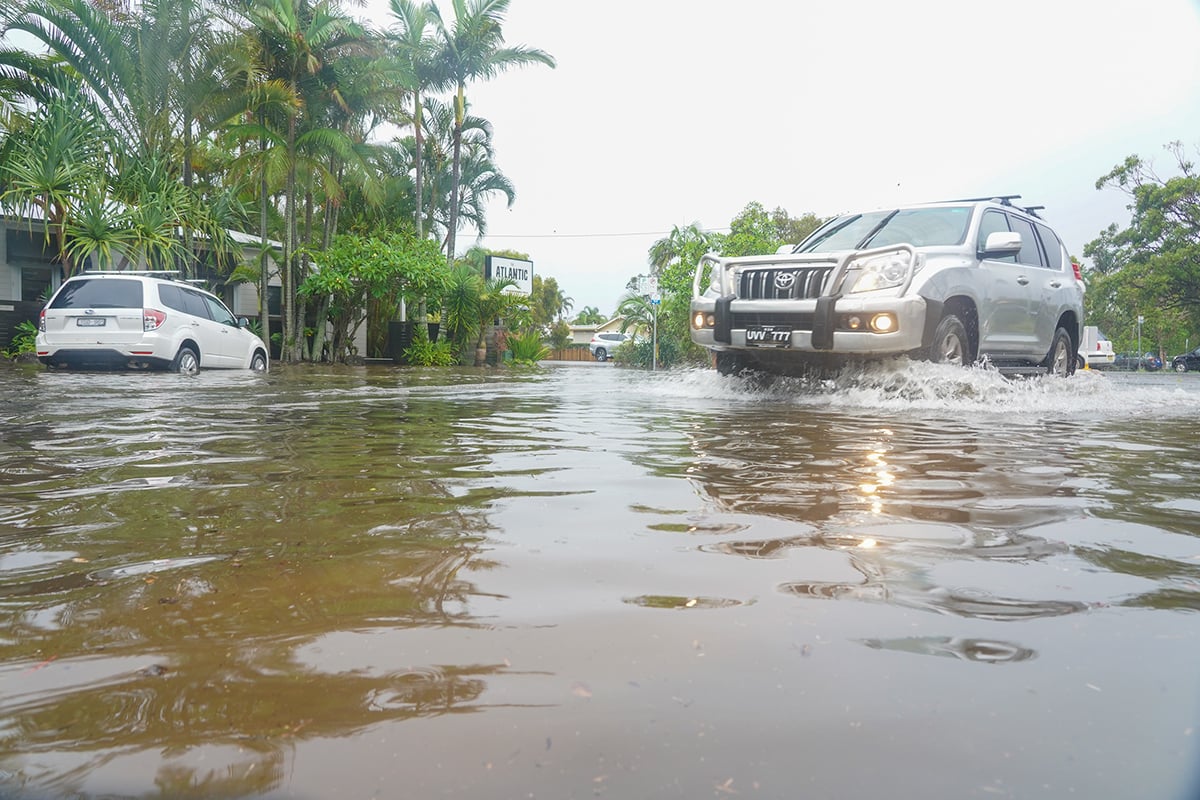
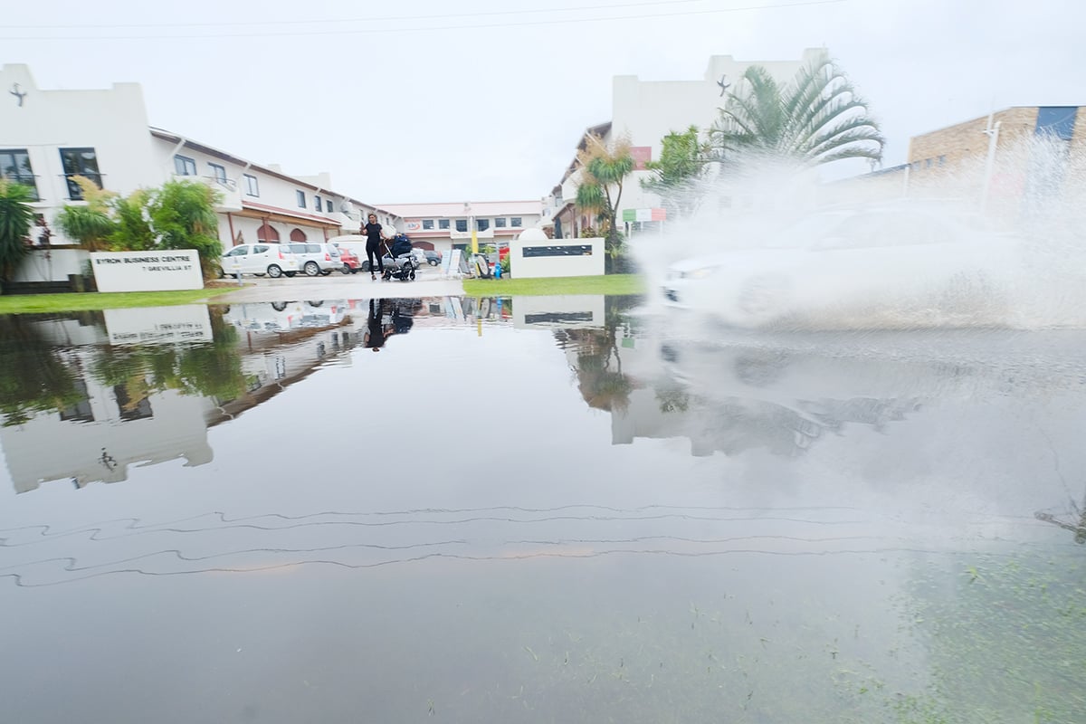
The town centre of Byron Bay flooded in the early hours of this morning and many locals are saying that it is some of the worst flooding they have ever seen.
With 275mm of rain coming down in the last 24 hours combined with high tides, it is no surprise that the streets ran with water. However, some locals are suggesting that blocked drains and the works on Butler Street for the Byron bypass have significantly increased flooding in the town centre.
Lawson and Middleton Streets were significantly affected along with some streets in the Byron Arts and Industry Estate.
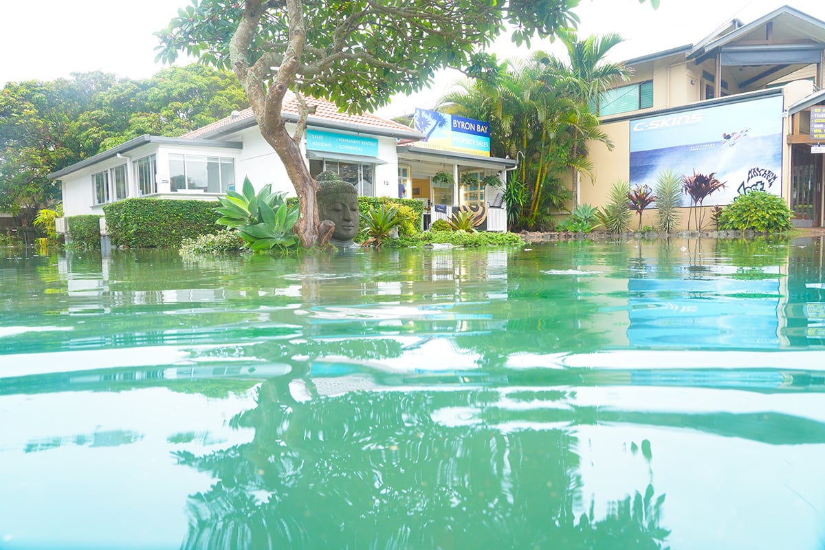
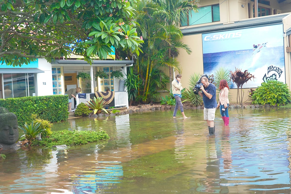
‘The water came into our building in the early hours of the morning from about 3am,’ said Jeremy Bennett owner of Byron Bay Property Sales business on Lawson Street in Byron Bay.
‘The high tide was at 7am but now (11am) it has pretty much cleared.’
The three businesses, Byron Bay Property Sales, Byron Bay luxury homes and Byron Bay Commercial, located in the building have all been affected by the inundation and Mr Bennett said they will have to shut for a few days to get everything sorted out and cleaned up.

Byron bypass work being blamed for flooding – Council say that’s not the case
‘It has never been as bad as this before. In Ex-Cyclone Debbie in 2017 we got a few centimetres in the building but this time we got about 20cm through the whole building,’ Mr Bennett told Echonetdaily.
‘We’ve lost several computers, furniture and files and filing cabinets. This is definitely the worst it’s ever been.
‘There are a lot of people saying that it might have been cause by both blocked drains and the current works on Butler Street and the Byron bypass. They are saying that this could be the cause of the flooding as it hasn’t flooded like this in the town before.’
However, a spokesperson for Byron Shire Council has told Echonetdaily that, ‘The culvert constructed as part of Stage 1 of the Byron Bypass project has increased the capacity of the previous culvert. The culvert was specifically sized in accordance with a flood study for the project and the Belongil Creek Floodplain Management Plan to prevent any increase in flood levels. This was a condition of consent for this project. The overall project has no outstanding works in place that have increased flood levels in the Byron Street drain.
‘Significant rainfall, elevated ocean levels, the low Belongil catchment and poor CBD drainage infrastructure capacity were the primary contributors to the flooding in the Byron CBD. Improvements in drainage capacity necessary in the Byron CBD are examined in our Belongil Creek Floodplain Management Plan. You can read more about the preferred drainage system on pages 26 and 27,’ said the spokesperson.
‘Further to this, a review of drainage maintenance in the CBD will be conducted as part of our post incident review.’
High tide impacted town centre flooding
The Byron Shire Council also said that the impact of the high tide combined with the opening of the entrance to Belongil Creek will have increased the flooding risk. But it also reminds residents and businesses that the Byron Shire is built on a floodplain and that flooding is a natural consequence of that.
‘The heavy rain, in conjunction with a large high tide, have caused flooding in some areas,’ said a Byron Shire Council spokesperson.
‘Byron Shire Council’s crews are continuing to clear drains and manage the various roads issues, with staff also working through the night responding to emergencies.
‘Earlier this week (Monday, 3 February) Council scraped the entrance to Belongil Creek in anticipation of heavy rain. Further work was done yesterday (6 February) to help the sand bar burst just after 3pm yesterday afternoon. The large high tide and heavy seas, particularly have restricted the flow of water from Belongil Creek to the ocean and this has contributed to the flooding in Byron Bay.
‘Tallow Creek at Suffolk Park opened naturally to the ocean around 4am.’
Council also has staff inspecting infrastructure across the Shire, checking for flood and water damage. This includes sewer and water infrastructure as well as areas in the hinterland that are prone to land slips.
‘We did receive a lot of rain in a relatively short timeframe and this will always causes problems but we are working as fast as we can to get things back to normal,’ Phil Warner, acting director infrastructure services, said.
Problems on roads, including flooding and trees and other obstacles should contact Council on 6626 7000. If reports need to be made after hours the emergency number is 6622 7022.
Weather
For the latest flood and weather warnings, rainfall, river level information and forecasts go to the Australian Bureau of Meteorology website – www.bom.gov.au.
SES
For help and information about storm and rain events go to www.ses.nsw.gov.au or call 132 500.
Road information
For information on road closures go to www.livetraffic.com or www.myroadinfo.com.au.
To report road closures or trees or obstacles on roads call Council on 6685 9300 or 6622 7022 (Emergency after hours).


 For four decades The Echo has printed the stories some people loved, some people hated, and some pretended not to read. If you want us to keep telling the truth, the real truth, not the sugar-coated version. We’ll need your support to keep the presses rolling.