
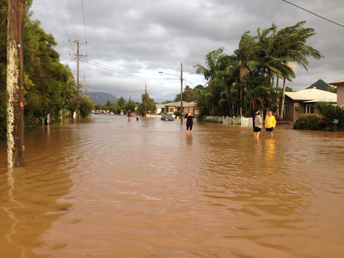
If you can remember back far enough through the various emergencies that have been experienced in the region in recent years you might remember Ex-Cyclone Debbie.
In 2017 the region was devastated by the impact of Ex-Cyclone Debbie with homes, livelihoods and lives being lost. One area that was particularly affected was the north of Byron Shire with businesses and homes that had never previously been impacted by flooding being inundated. Billinudgel, Ocean Shores, New Brighton, and Mullumbimby were just some of the effected areas.
Responding to the impact Byron Shire Council joined with residents to develop the North Byron Floodplain Risk Management Plan. Over a two year period this has brought together the stories and the lived experience of more than 400 people to develop the draft floodplain plan. The draft plan is now on exhibition.
James Flockton, Infrastructure Planning Coordinator, said the information in the Study was developed using the latest scientific data, mapping and information on rainfall, run-off and topography which were used to produce detailed flood maps showing the impact of previous floods and the predicted impact of a number of future flood scenarios.
‘These maps are a very good way for people to understand the potential impact of flooding on their property,’ Mr Flockton said.
‘Consultants then took all of the information in the Study, along with community feedback, and developed the North Byron Floodplain Risk Management Plan, which sets out a range of high, medium and low priorities which Council will use to guide capital works and other measures to manage flood risk,’ he said.
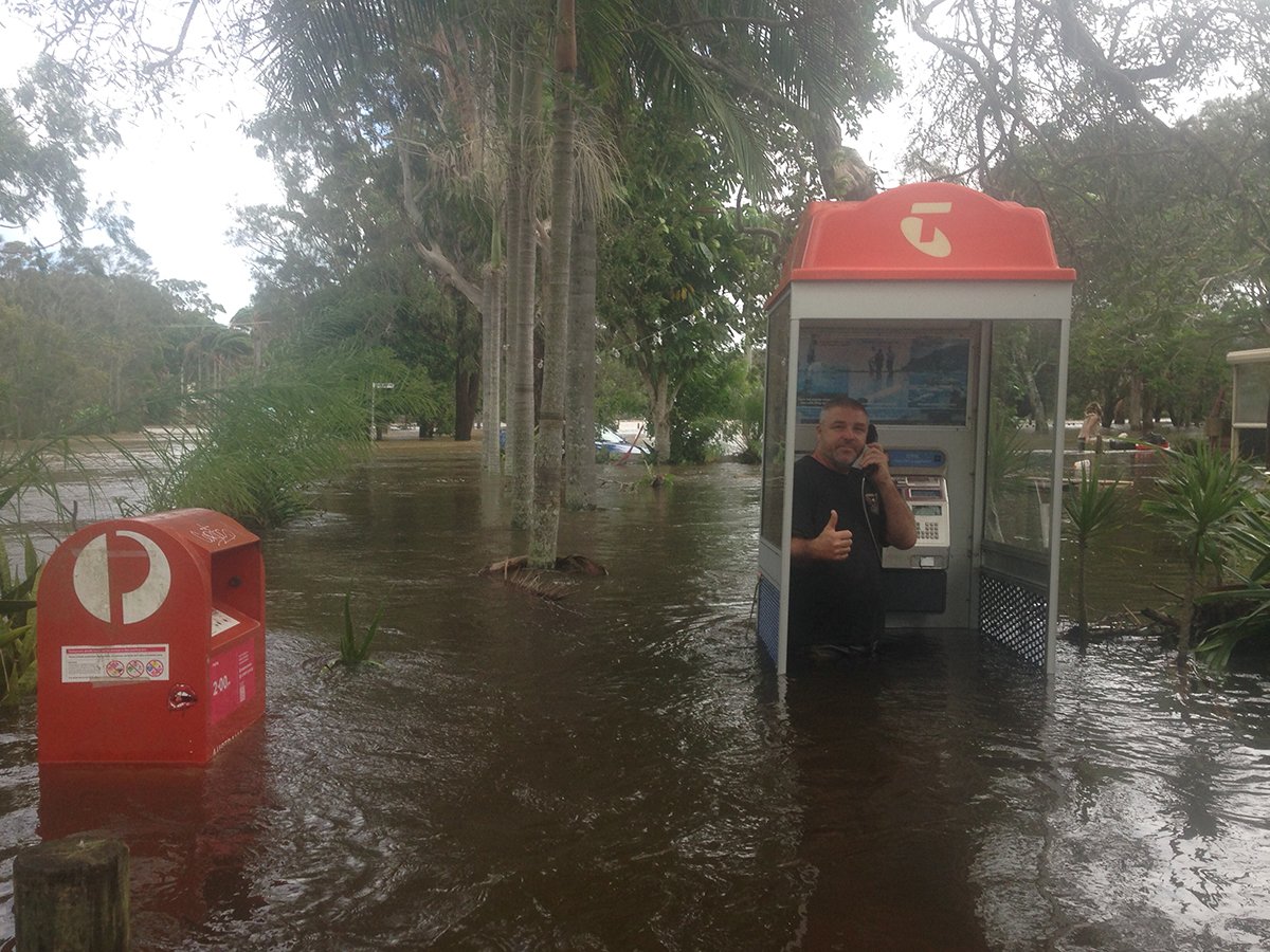
The biggest little Venice
Part of the consideration is that Byron Shire sits on a floodplain that is bordered by the Pacific Ocean. This means that climate change will have an increasing impact on flood risk and management as we move into the future.
It’s unfortunate that state government rules restrict our foresight on Sea
Level Rise to this century only,’ says local flood hydrologist and Floodplain Committee member Duncan Dey.
‘If a time capsule of current life in Mullumbimby gets unlocked in the year 2200, people will wonder at how we had dry streets. The town will then look like Venice.
Mr Dey also point out that Byron Shire Council needs to separate out the two main effects of the North Byron Floodplain Risk Management Plan.
‘The Council must protect the lives and investments already located in flood areas while at the same time discouraging new lives and investments in those areas,’ he told Echonetdaily.
‘The flood plain areas will expand as ocean levels rise.’
Find out more and respond
A number of drop-in sessions are being run throughout July for the community to gain a better understanding of the plan and ensure they can respond effectively.
‘We are coming to the end of this process and it is really important that people in the north of the Shire have a look at the Plan and the Study so they understand not only the flood risk to their property, but the risk to their community,’ Mr Flockton said.

Drop in sessions:
Mullumbimby – 1 July at the Byron Shire Council Chambers from 12 noon till 7pm
Billinudgel – 7 July at the Billinudgel Hotel from 5 till 7pm
South Golden Beach – 16 July at the South Golden Beach Hall from 5.30 till 7.30pm
People who aren’t able to attend the drop-sessions are invited to make an appointment with Council’s Drainage and Flood Engineer, who will be able to answer questions and provide information.
The Plan is on exhibition until 24 July 2020 with information available at Your Say Byron Shire.
 For four decades The Echo has printed the stories some people loved, some people hated, and some pretended not to read. If you want us to keep telling the truth, the real truth, not the sugar-coated version. We’ll need your support to keep the presses rolling.