An anticipated report into flood impacts around Mullumbimby will be tabled at the upcoming October 29 meeting of the Byron Shire Floodplain Risk Management Committee.
It is available on Byron Shire Council’s website.
As part of the draft Residential Strategy, flood and stormwater management were among priorities to be addressed.
Additionally, Byron Shire landowners were invited by Council to submit affordable housing proposals ‘to be considered as part of an early implementation initiative’.
The report says, ‘This resulted in five potentially suitable sites being identified; four of which are located along the southern fringe of Mullumbimby’.
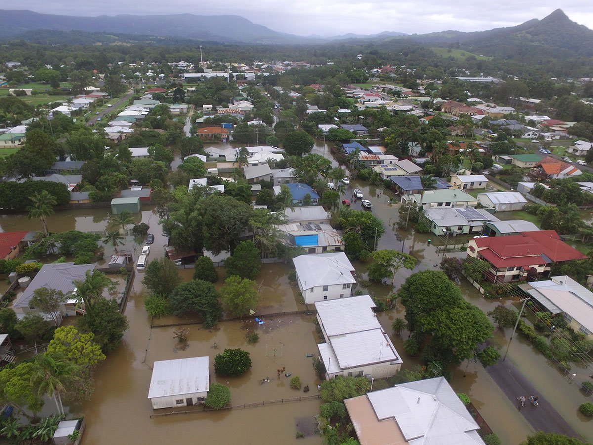
New City Road flooding tabled
One of the many flood prone areas of Mullumbimby is located south east of New City Road, east of the CBD.
It was one of many areas that were hit by the devastating March 2017 floods. The cause of flooding around the area, according to consultants WMA water, was ‘blockages to the waterway downstream’ including the channel at its discharge point into Kings Creek.
The report authors say a possible solution is to remove the blockages, upgrade the existing culverts and incorporate flap gates at the channel discharge point into Kings Creek.
The report reads, ‘Solutions developed [so far] only result in minor water level improvements…’ Staff say in the report, ‘stormwater management options will be presented and discussed during the presentation at [the] committee meeting’.
 For four decades The Echo has printed the stories some people loved, some people hated, and some pretended not to read. If you want us to keep telling the truth, the real truth, not the sugar-coated version. We’ll need your support to keep the presses rolling.